
-
 Complete solutions of
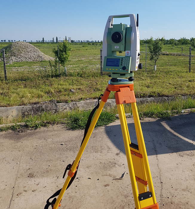
topographical measurements,
Cadastral and
property registration -
 SURVVEX,
accurate and precise
topographical measurements
ABOUT US
Survvex was founded in 2017 based on over 12 years of experience accumulated in the field of topographic measurements and cadastre, experience including international projects such as: Port Baku South Tower, Port Baku Mall in Azerbaijan, the New US Embassy in Bishkek-Kyrgyzstan or the Auto Museum in Bernkastel-Kues in Germany.
The field of "measurements" is vast and beautiful, and the Survvex team guarantees the quality of its work and results that always exceed your expectations.
We constantly inform you, in the case of cadastral documentation, regarding the registration number and we keep you informed of the status of the file from the moment of its registration at OCPI until its resolution, and if problems arise along the way with it or if additional information is necessary, we offer you a prompt response.
In the case of topographical works for construction, we only need the project plans and we can get to work immediately, without the need for other instructions.
Also, we won’t put you on the road or to make unnecessary trips to our office, because with us the price offers for the services provided are made by email.
SERVICES
Cadastral and property registration
- Technical and legal consultancy;
- Topographical and cadastral measurements;
- Site plans/topographic surveys of property (land area measurement is vital for legality in the eyes of the law);
- Registration of cadastral documents and property titles at the Romanian National Agency for Cadastre and Land Registration (ANCPI).

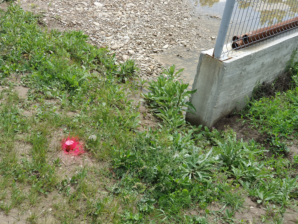
Property boundary Markings
- Technical and legal consultancy;
- Cadastral documentation verification;
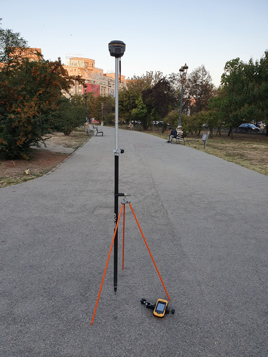
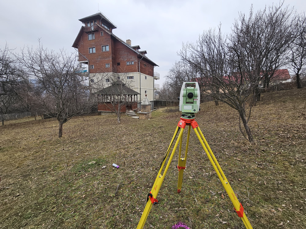
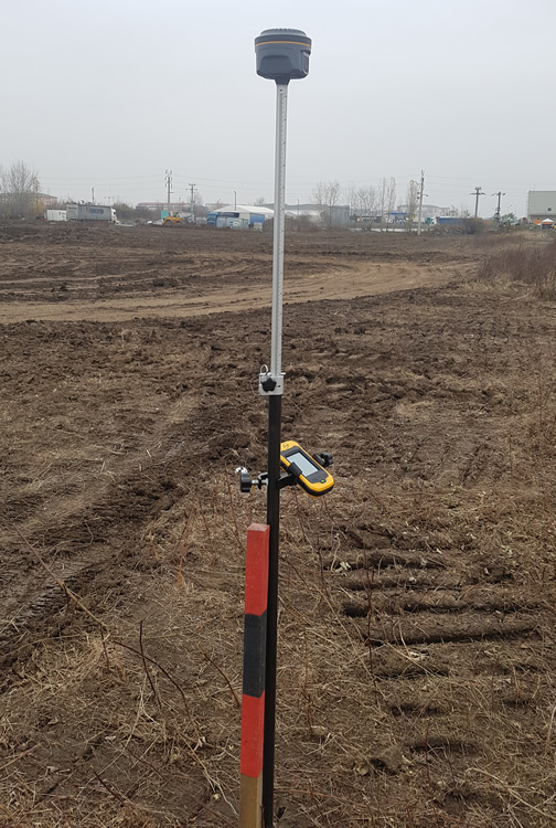
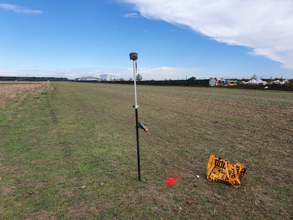
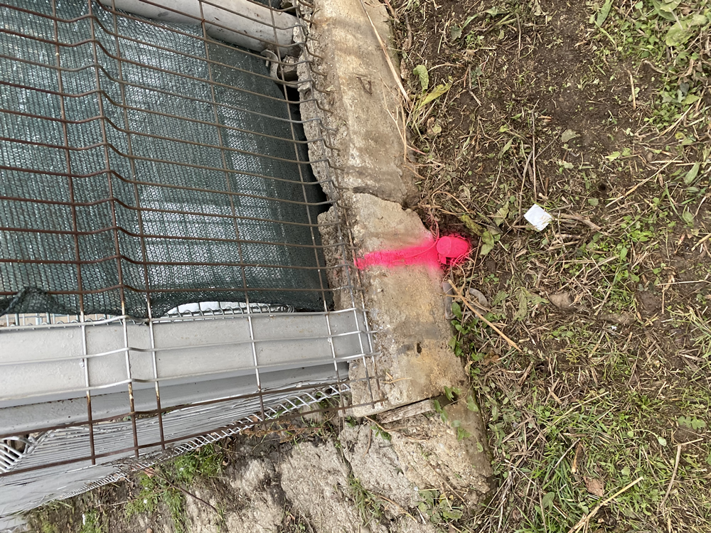
- Boundary measurements and stakeout;
- Site plans in case of property overlaps or if fences were not built on correct property line;
- Survey map/stakeout report.

Topographic Plans
- For buildings design and permits;
- Technical Consultancy;
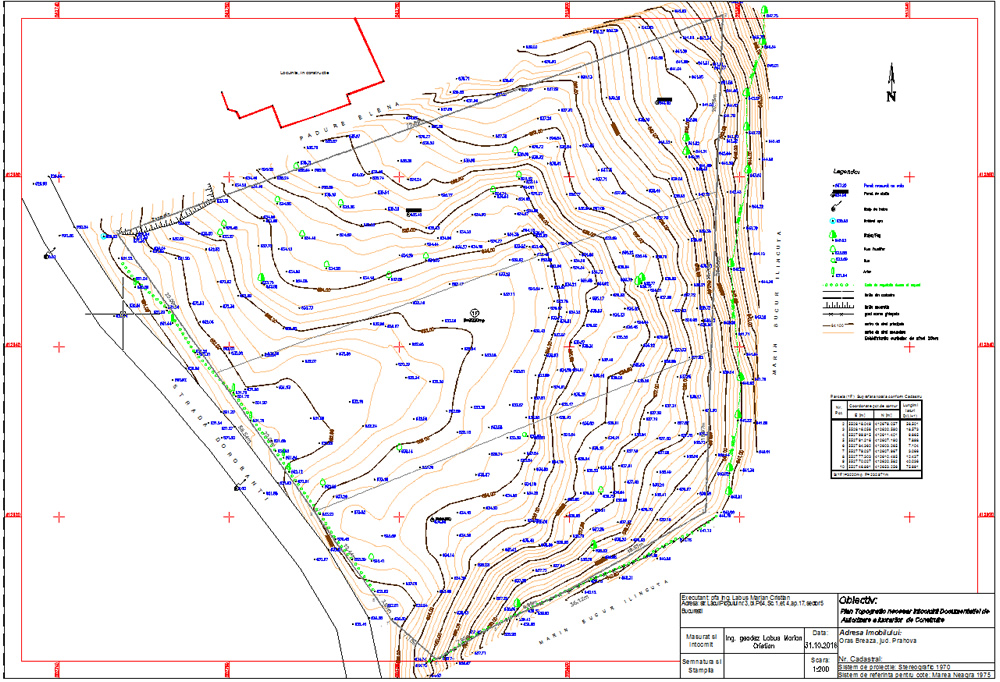
- Topographic Measurements and Topographic Plans with: All Terrain Elements, Cadastral boundaries, elevations points, benchmarks and correct relief
representation with contour lines.


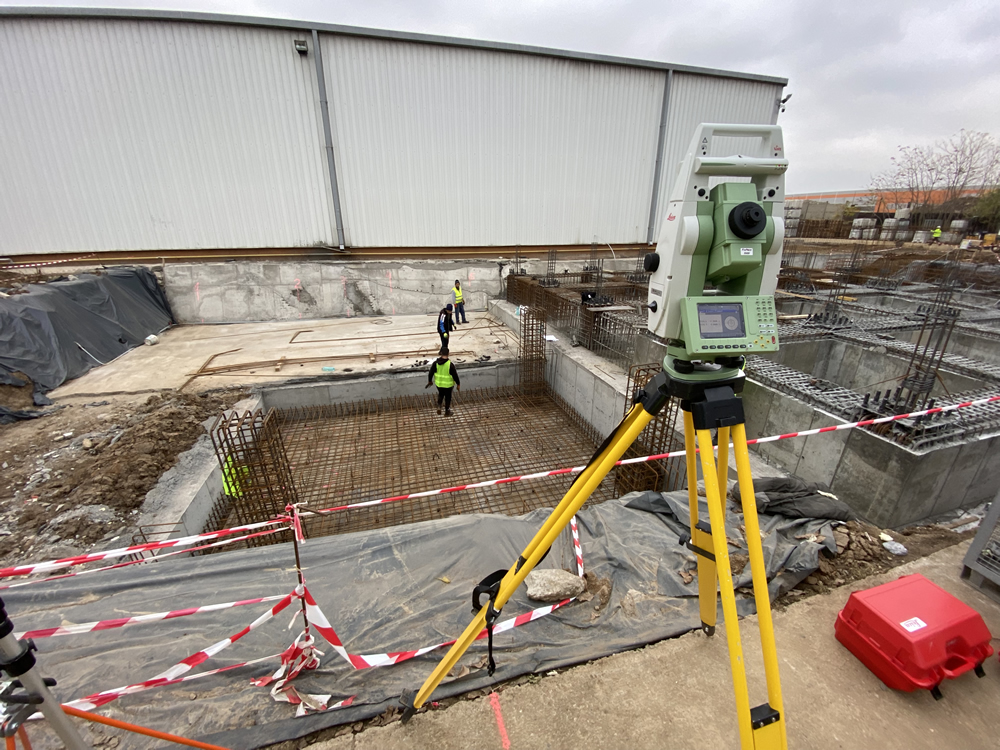
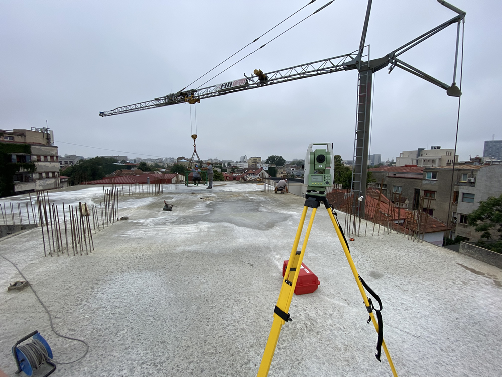
Topographic Surveys in Civil and Industrial Constructions
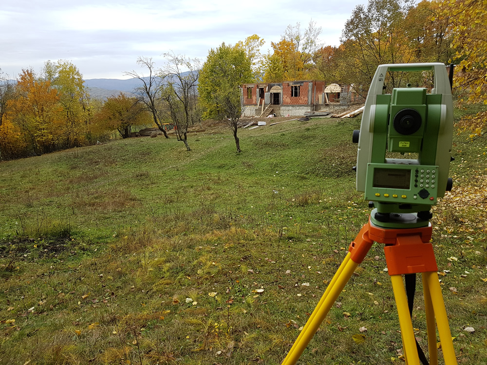
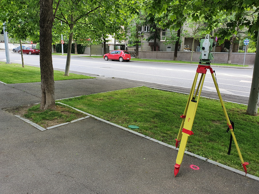
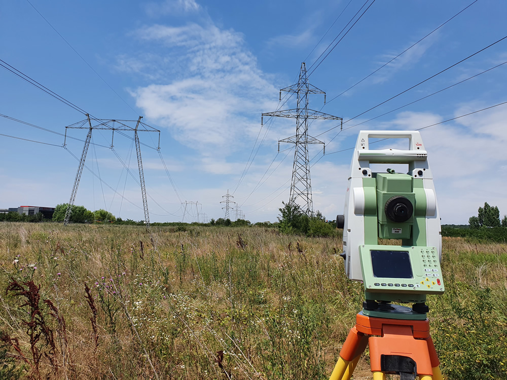
- Accurate and precise topographic measurements;
- Technical consultancy;
- Identification and marking of real property boundaries;
- Study of the investment project;
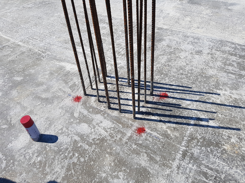
- Marking of axes and project elevations;
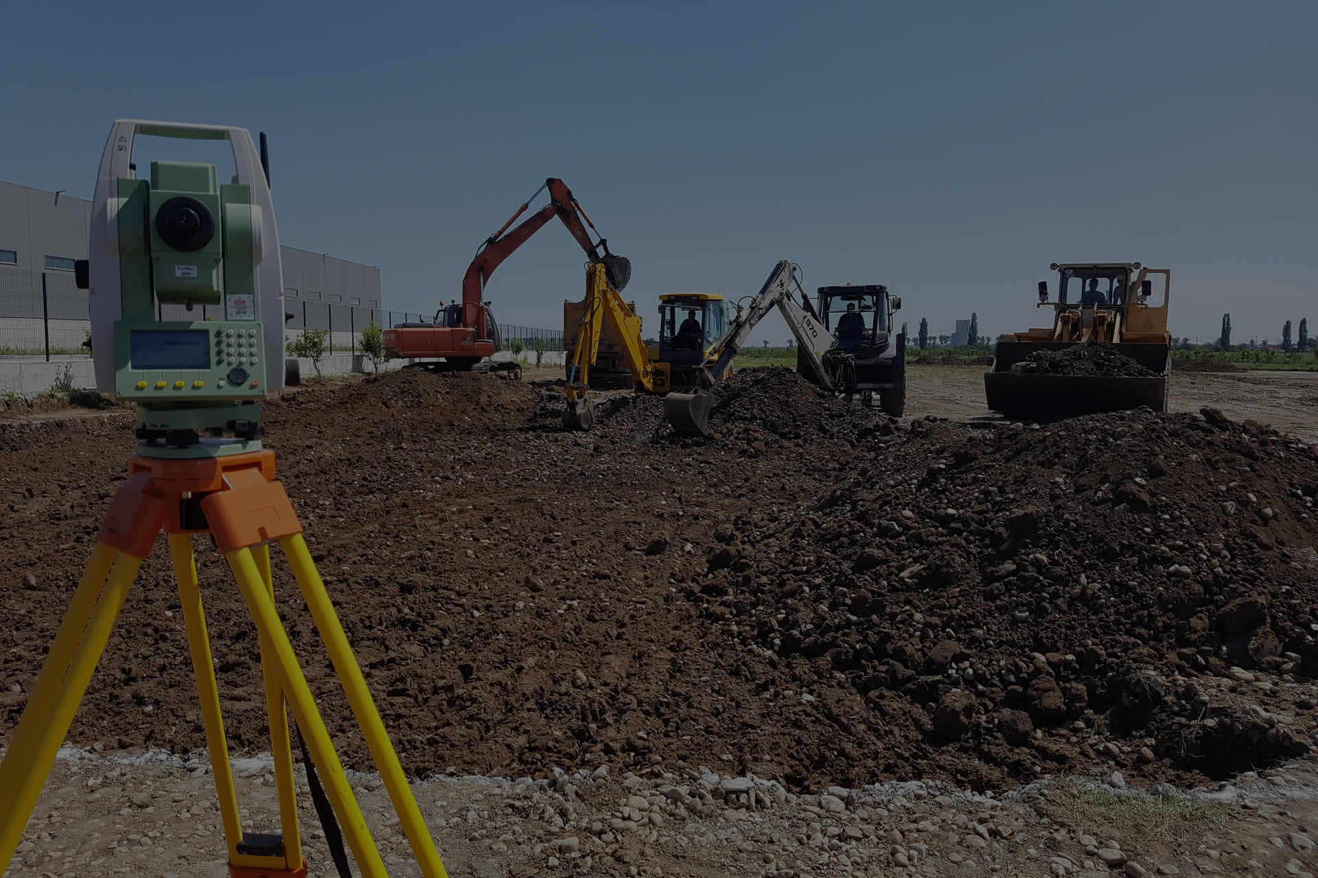
- Marking, verification and monitoring of excavations;
- Marking and verification of foundations, columns, diaphragms, metal bolts, or other structural elements;
- Survey mapping/stakeout report.


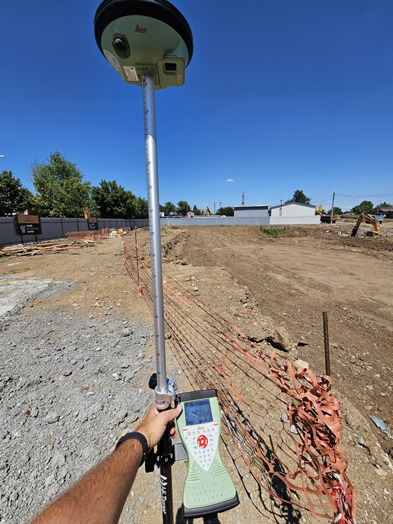
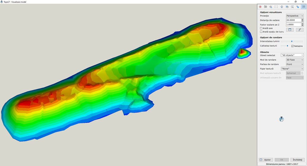
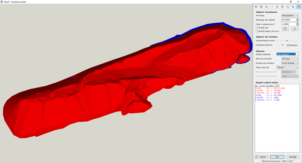
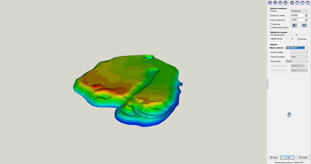
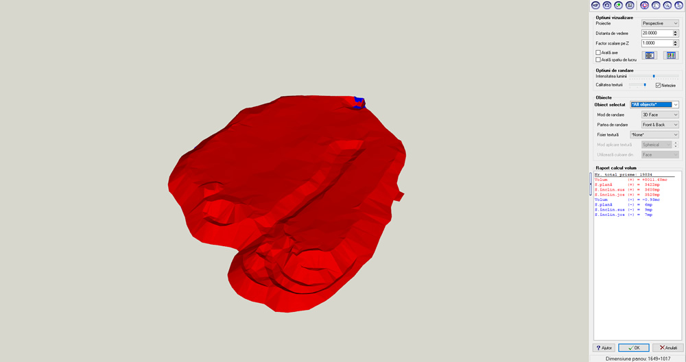
Topographic Measurements for site excavations and fill quantities
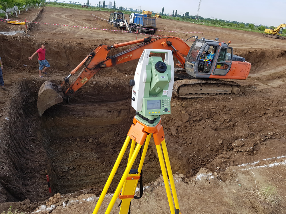
- Experts in monitoring and quantities determination;
- Technical consultancy;
- Marking of designed excavation;
- Fill and CUT in the project phase;
- Time-based tracking of excavation and fill quantities;
- Topographic measurements for inventorying volumes of various existing aggregates;

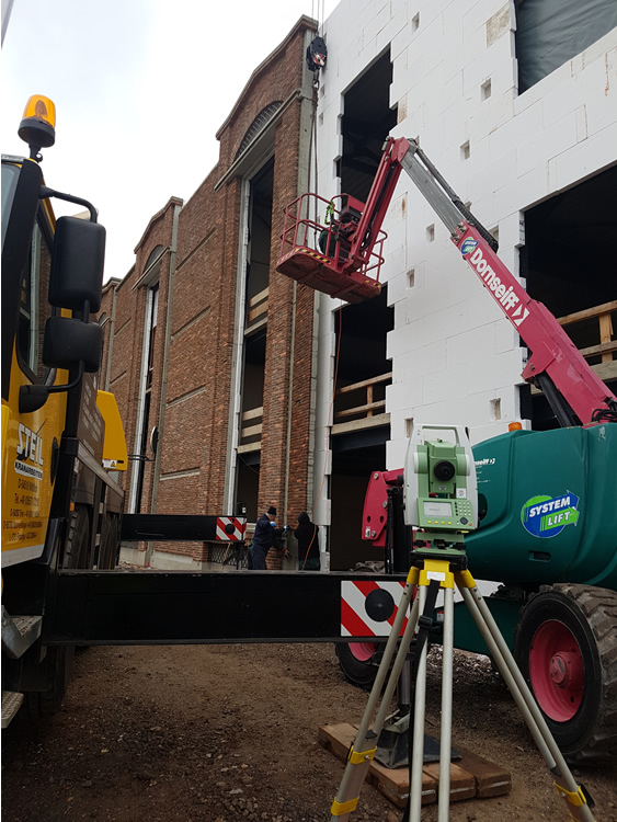
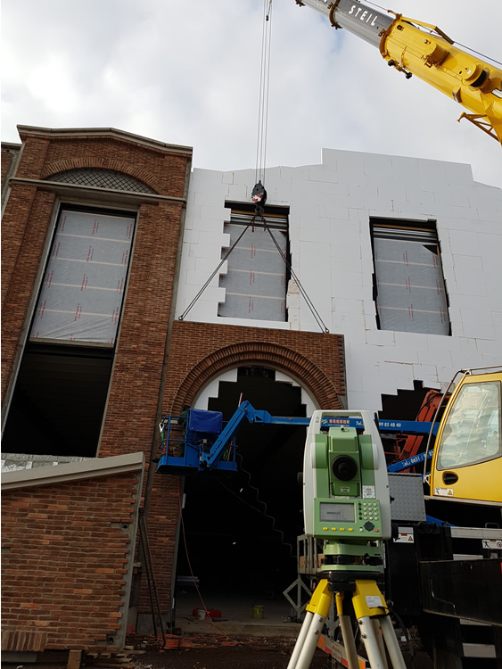
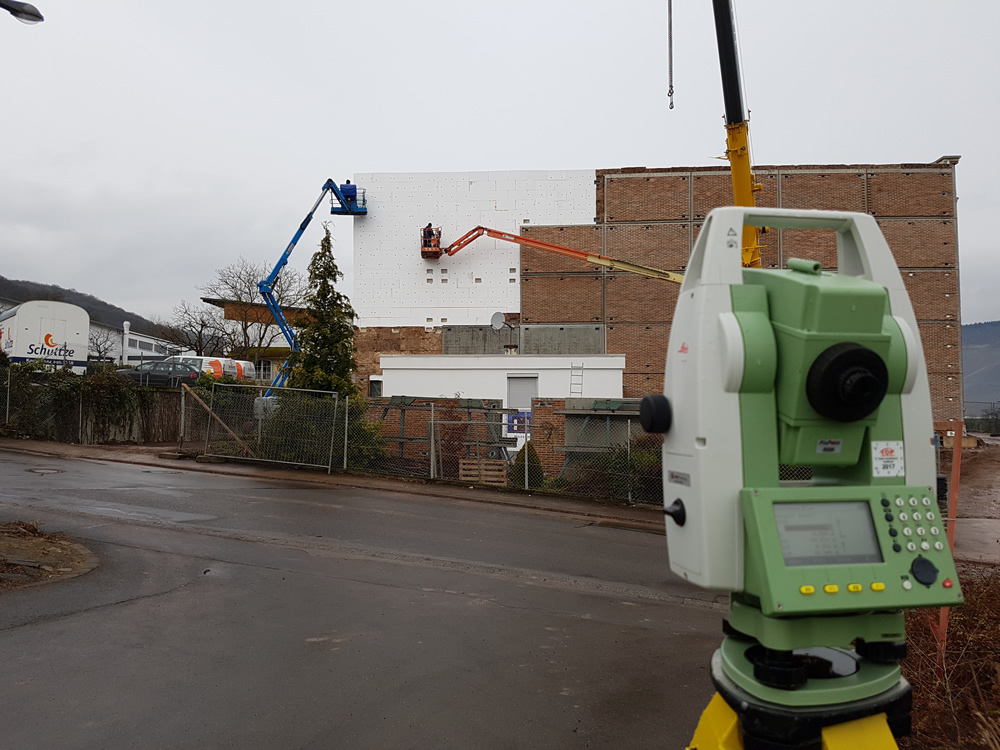
Façades, measurements, and markings
- Technical consultancy;
- Measurements and situation plans required for design;
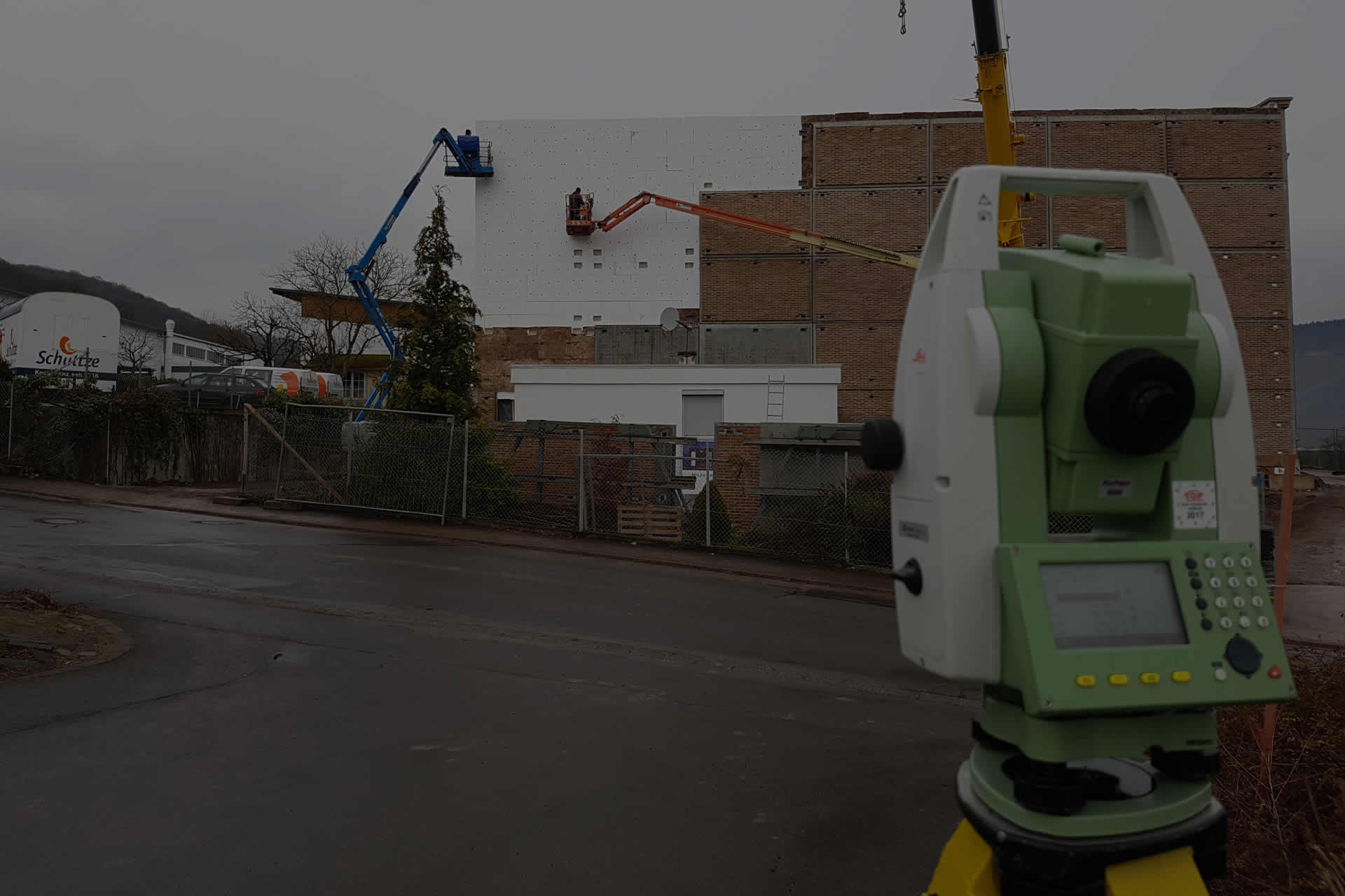
- Stakeout projected elements of the façade;
- Topographic assistance during installation;
USEFUL
Geodesy is the scientific discipline that deals with the study of the shape and dimensions of the Earth or extensive portions of its surface.
It also involves determining the precise positions of fixed points on the ground, which form the geodetic network supporting topographic measurements.
In geodetic measurements conducted over large areas, the curvature effect of the Earth is taken into account.
Topography focuses on the study, measurement, and representation of land on maps and plans, including all existing details and forms of both planimetry (horizontal features) and relief (vertical features). In topographic measurements conducted over small areas, the curvature of the Earth is not taken into account.
Cadastral and land registration in land book: The land book contains descriptions of properties and entries related to real property rights, personal rights, deeds, facts, or legal relationships associated with land properties. Title registration involves recording real property rights, personal rights, and legal facts in the land book. It ensures legal clarity and transparency regarding property ownership and rights.
Romanian Official website of National Cadastre and Real Estate Advertising Agency: https://www.ancpi.ro/
Romanian Official website for purchasing land books extracts: https://epay.ancpi.ro/
Romanian Official Website with all properties registered in the integrated cadastre and real estate advertising system (eterra3): https://geoportal.ancpi.ro
PORTFOLIO
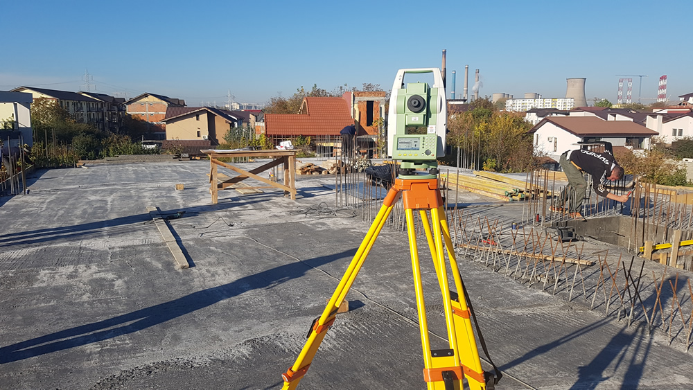
Construction of a Residential Building with the Height Structure S+DS+G+2F, located in Bucharest, District 3. Contractor for Staif Construct SRL.
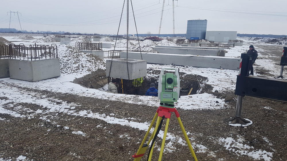
Extension of Mobexpert Warehouse Hall, situated in Bolintin-Deal, Giurgiu County. Contractor for Xylon SRL.
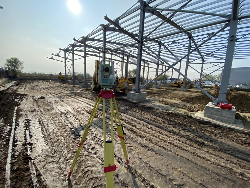
Construction of Frigotherm Group SRL Warehouse Hall, located in Ciorogarla, Ilfov County. Contractor for Frigotherm Group SRL.
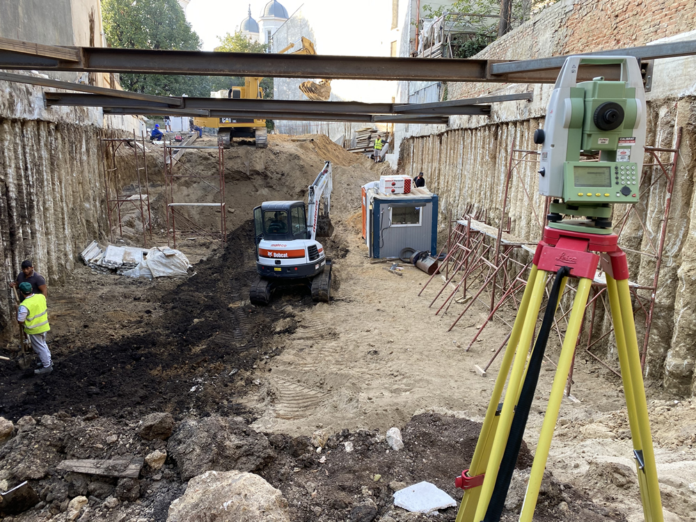
Construction of a Residential Building with the Structure S+G+2F+R3+R4, in Bucharest, District 1. Contractor for Sagex Construct SRL.
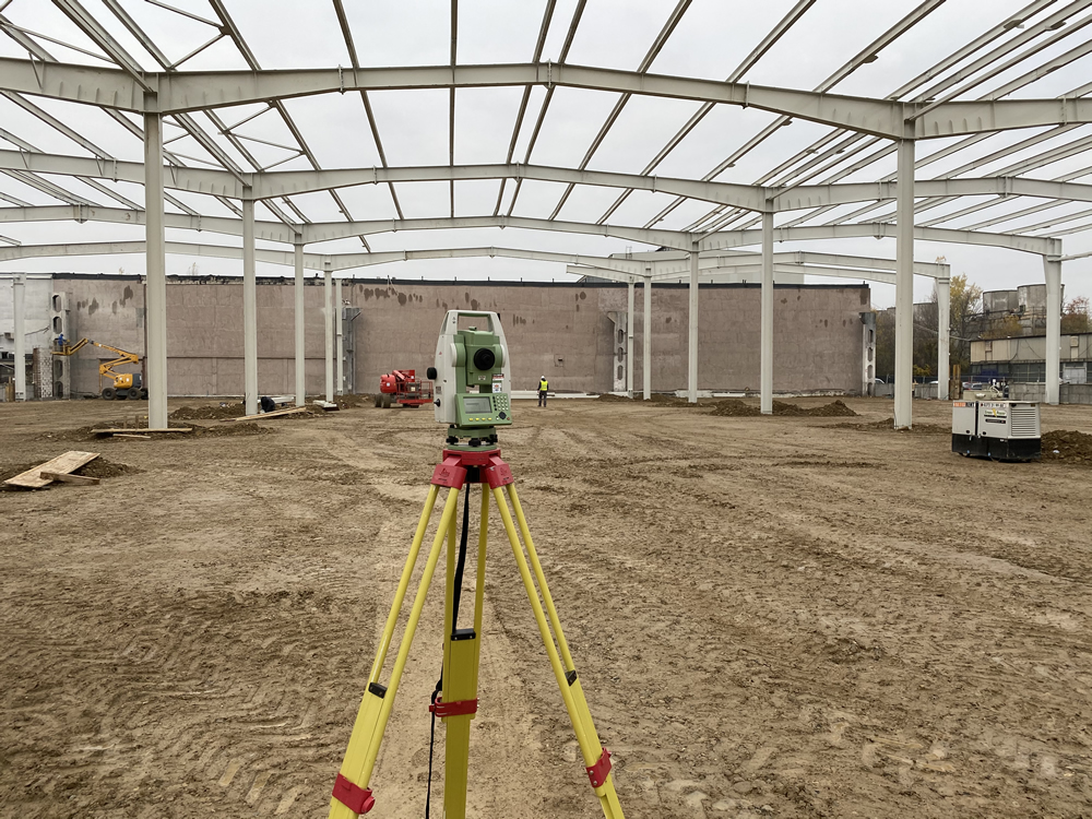
Construction of Metav SA Warehouse Hall, in Bucharest, Sector 1. Contractor for Sagex Construct SRL.
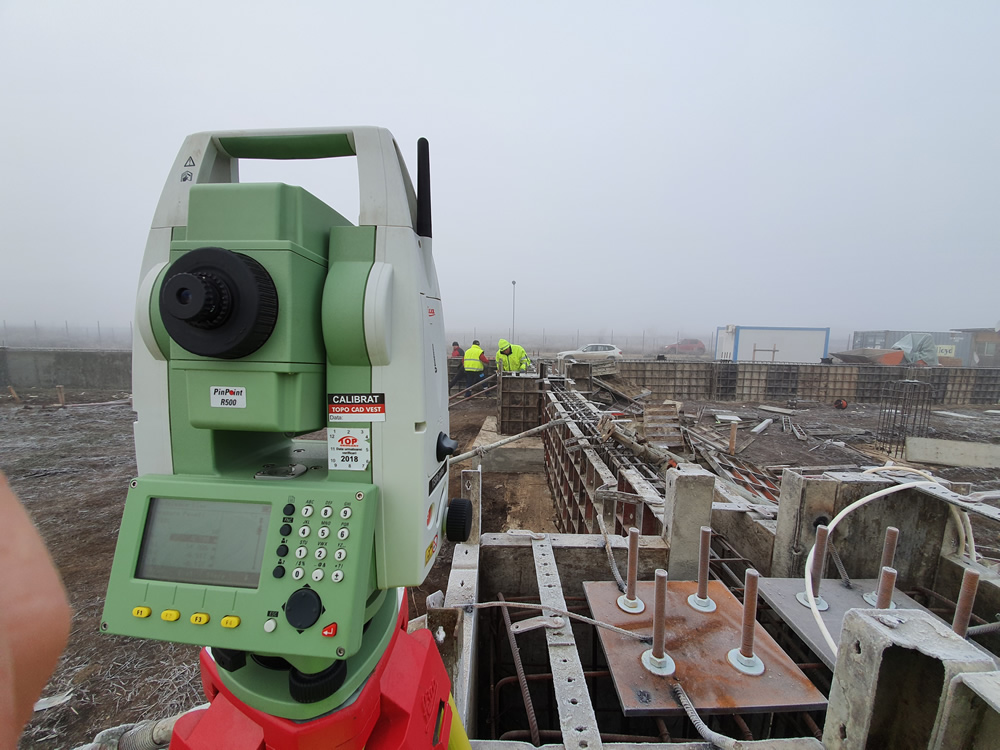
Construction of Rohel Trans International SRL Warehouse Hall, located in Clinceni, Ilfov County. Contractor for Xylon SRL.
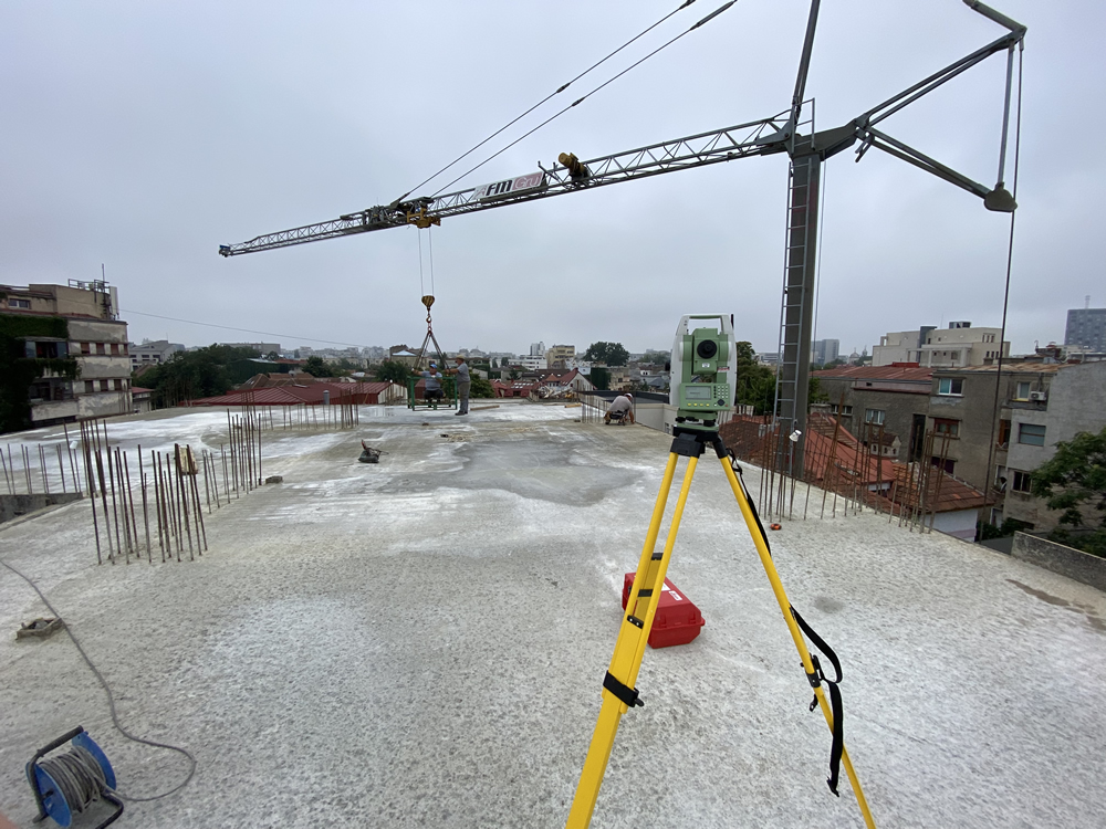
Construction of a Residential Building with the Structure S+G+3F+R4+R5, in Bucharest, District 1. Contractor for Staiff Construct SRL.
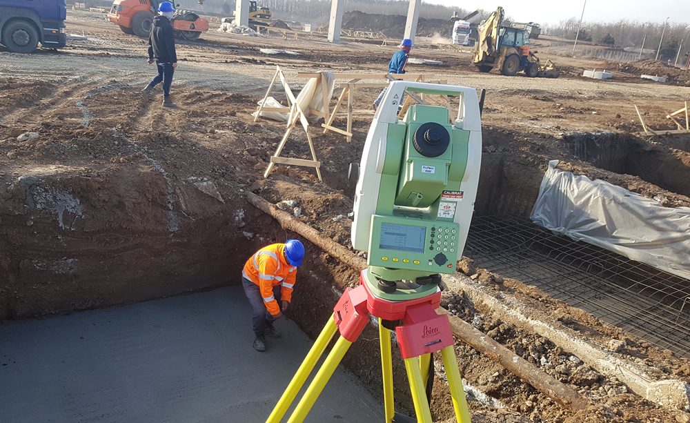
Construction of Eli Park Warehouses, located in Buftea town, Ilfov County. Contractor for Sagex Construct SRL
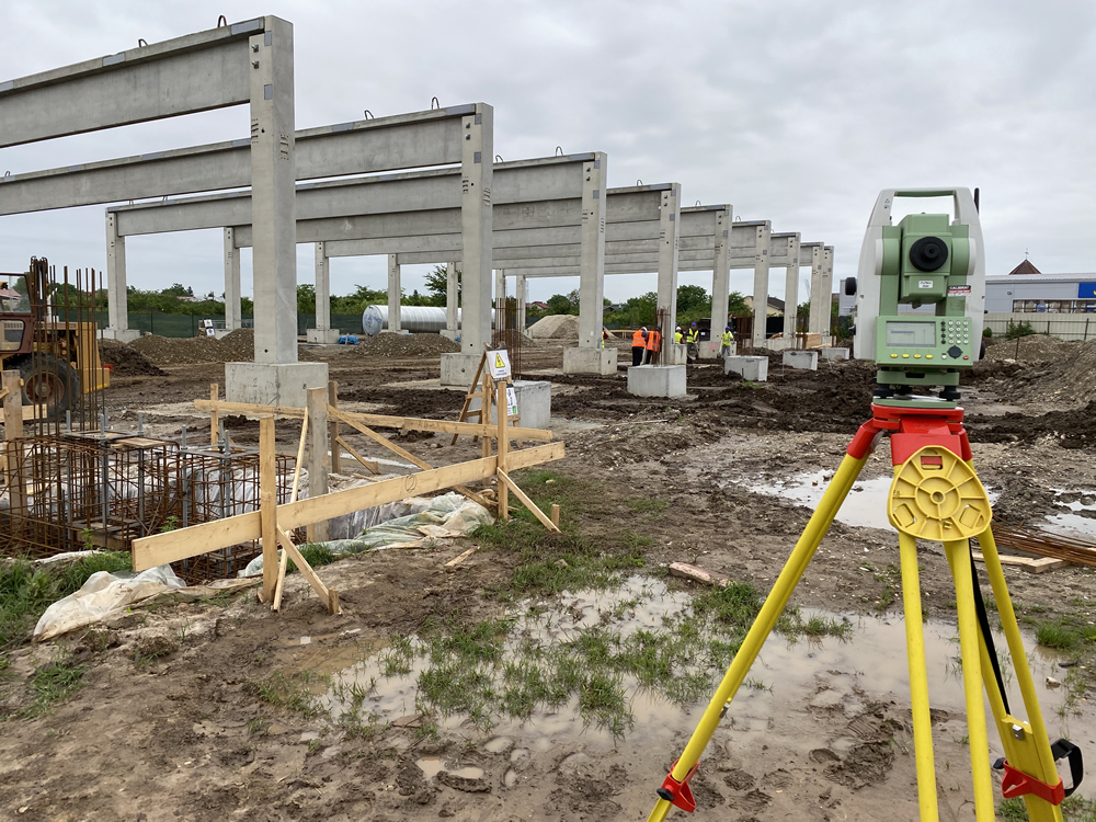
Construction of Lidl Store, located in Domnești, Ilfov County. Contractor for Master Build SRL.
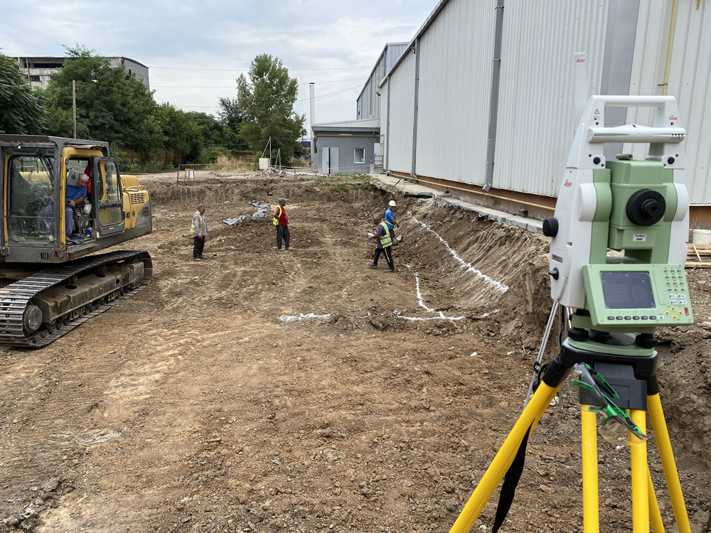
Construction of Isomat Romania Warehouses and Production Facilities, located in Pantelimon, Ilfov County. Contractor for Master Build SRL.
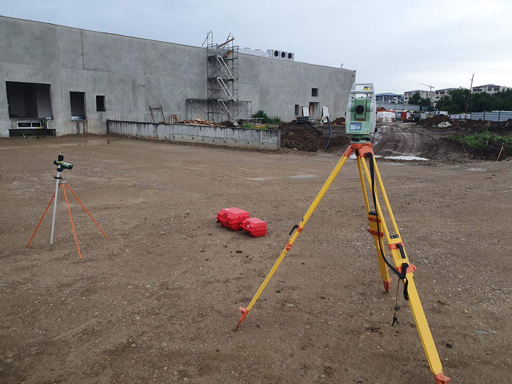
Construction of Kaufland Store, located in district 4, Bucharest. Contractor: Master Build SRL.
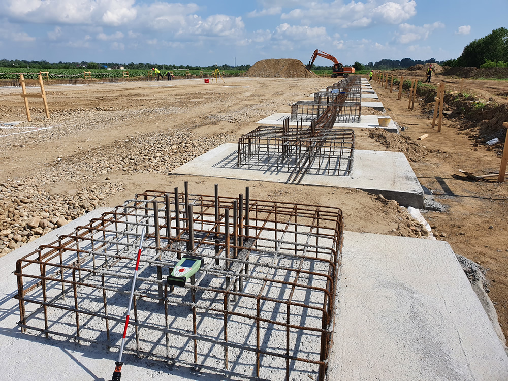
. Construction of Warehouses and Offices with the Height Structure P+1F located in 1 Decembrie town, Ilfov County. Contractor for Viomed Consum SRL.
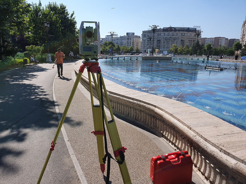
Topographic Measurements and Topographic Plan with OCPI registration for Unirii Park, in Sector 3, Bucharest. Contractor for BTFARCH Architects and Consultants.
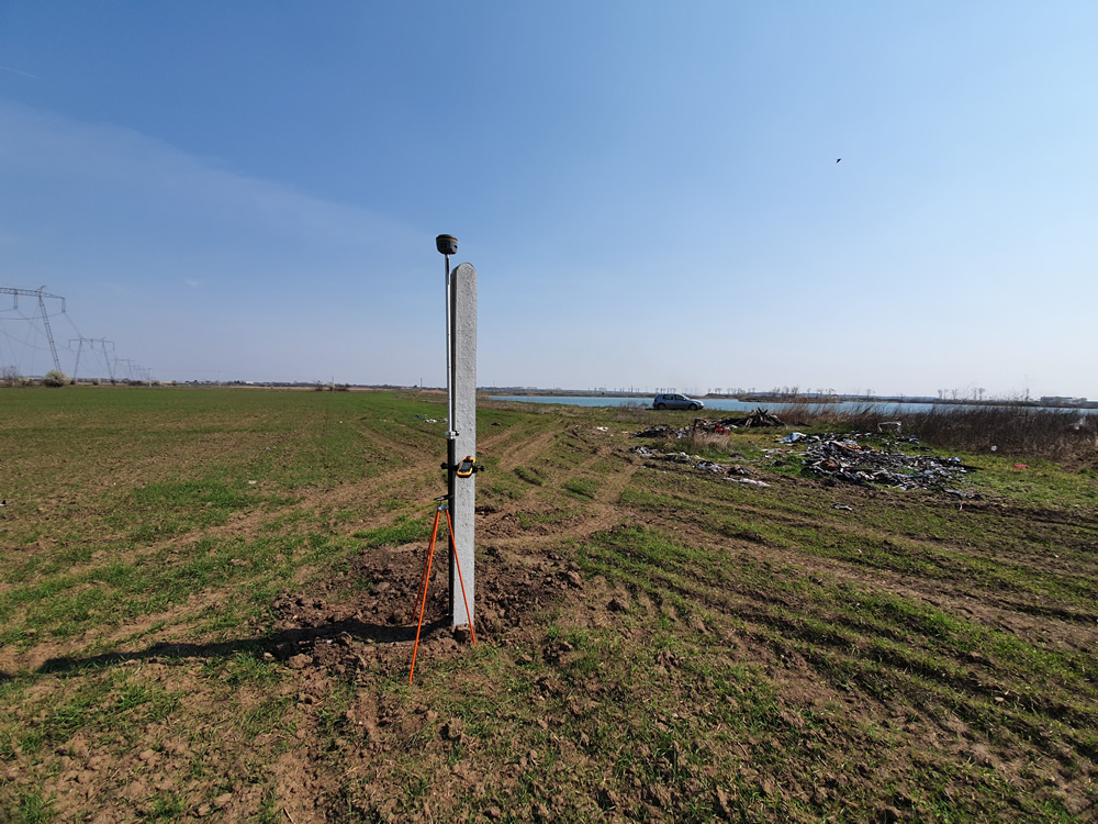
Topographic Measurements and Topographic Plan with OCPI registration for a 29.5-hectare Land, in Bolintin-Deal, Giurgiu County. Contractor: South Land Invest SRL.
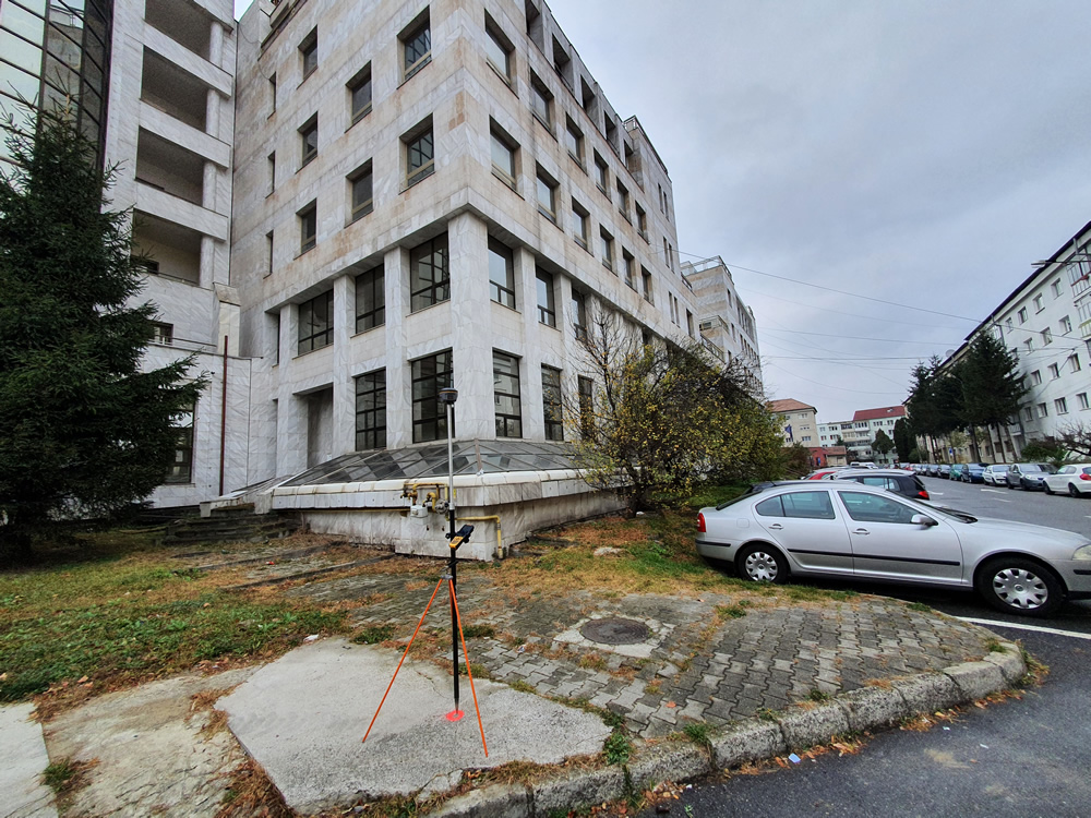
Topographic and Cadastral Measurements for the Former BANCPOST Office Building in Sibiu, with the Height Structure 2S+G+M+4F.
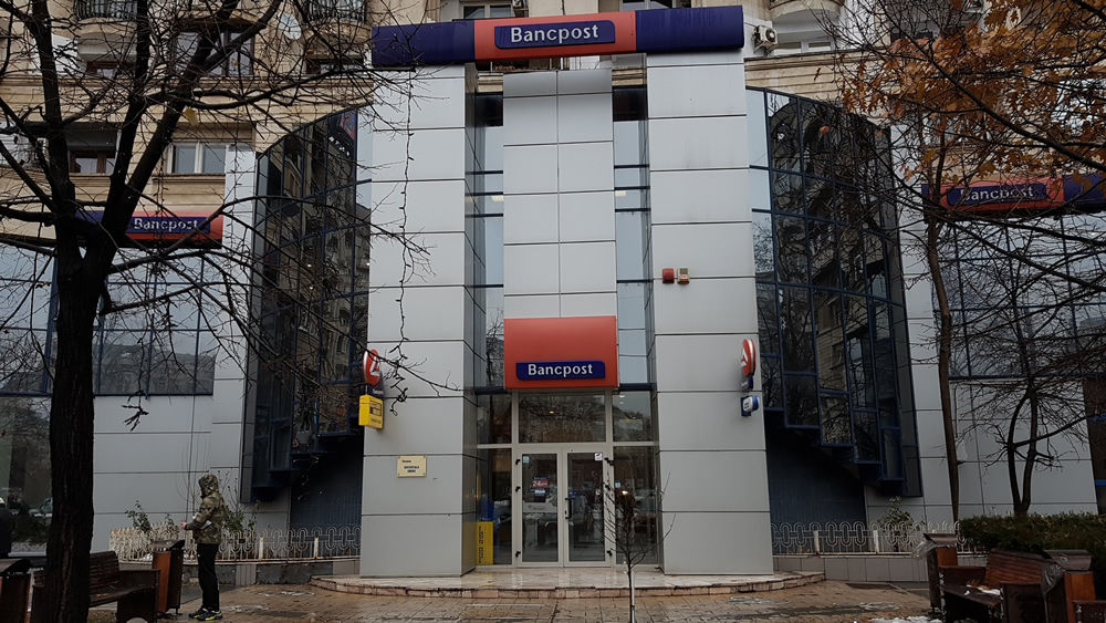
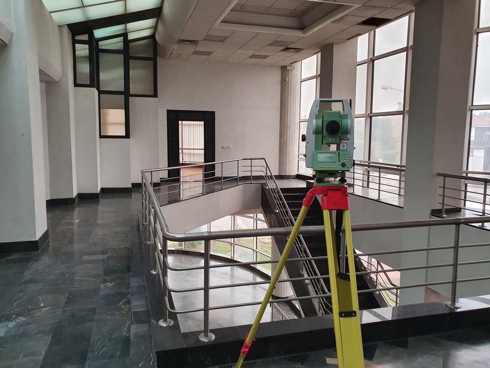
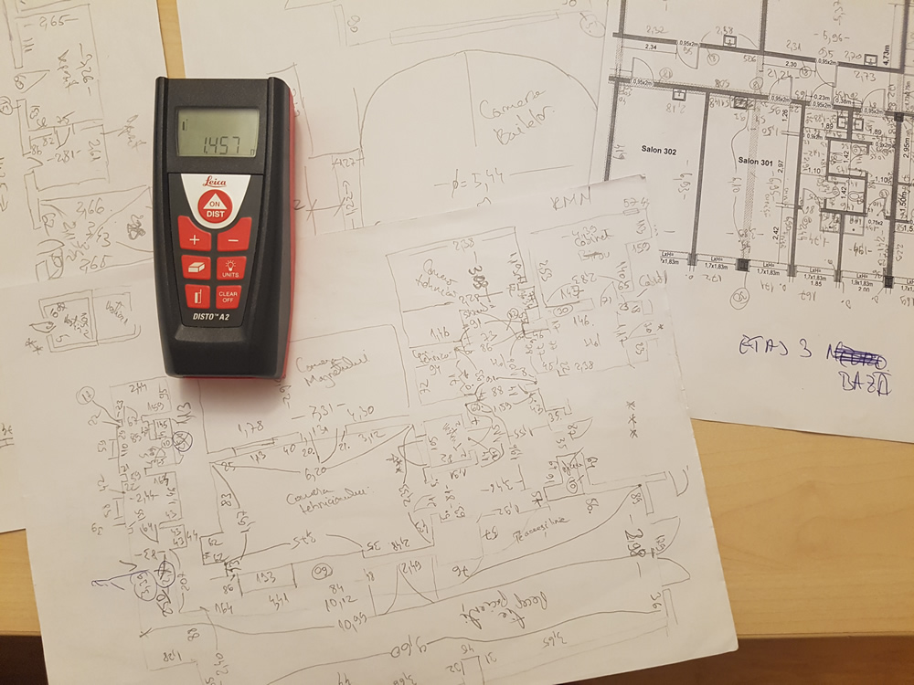
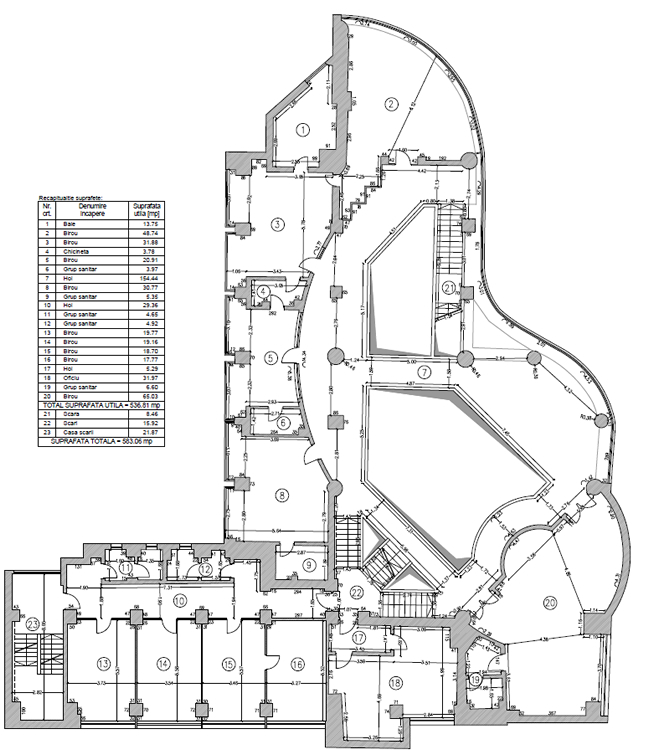
Interior Measurements for the Former BANCPOST Office Building in Bucharest, Sector 3, with the Height Structure: S+G+M. Contractor for IMO Property Investments Bucharest SA
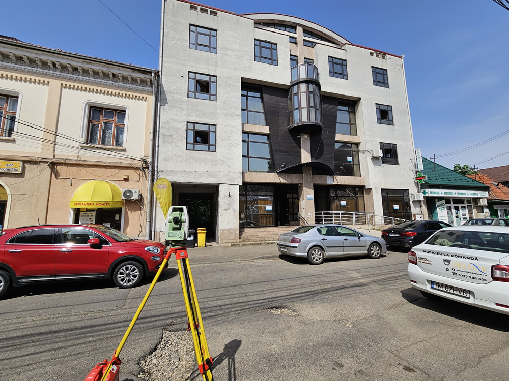
Topographic and Cadastral Measurements for the Former BANCPOST Office Building in Lugoj, Timiș County, with the Height Structure: S+G+2F+R. Contractor for IMO Property Investments Bucharest SA
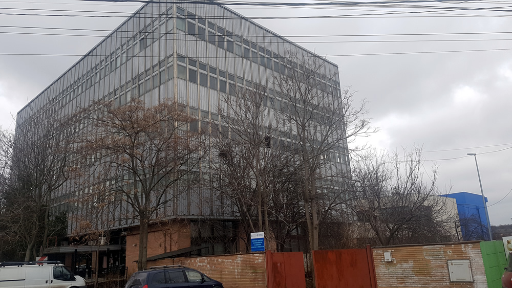
Topographic and Cadastral Measurements for the Former BANCPOST Office Building in Măgurele town, Ilfov County, with the Height Structure: P+4F. Contractor for IMO Property Investments Bucharest SA
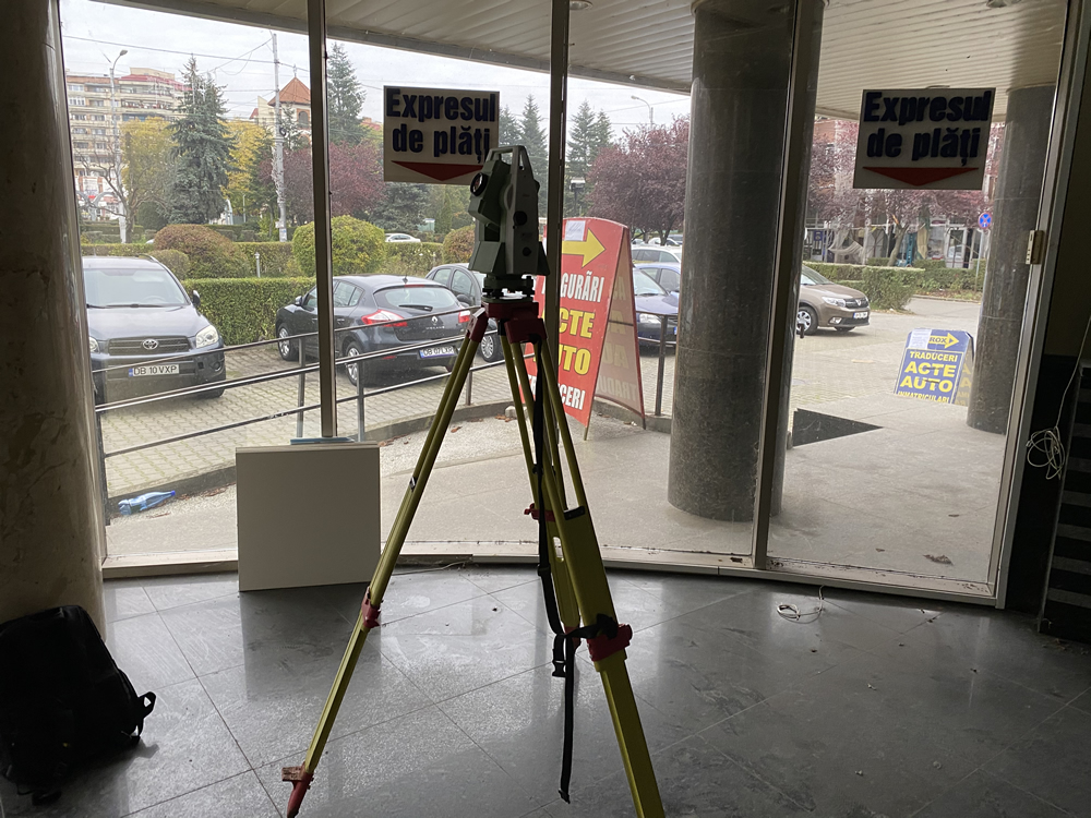
Topographic and Cadastral Measurements for the Former BANCPOST Office Building in Târgoviște, Dâmbovița County, with the Height Structure: S+G+1F. Contractor for IMO Property Investments Bucharest SA
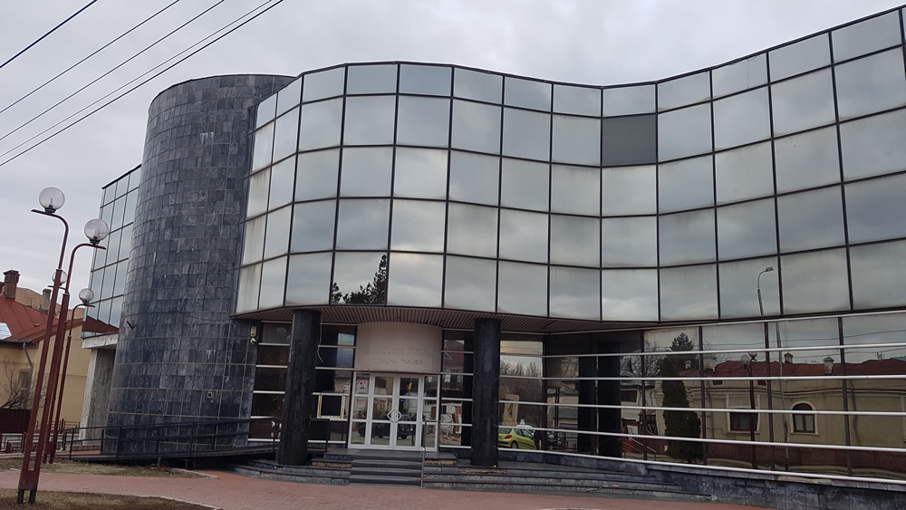
Topographic and Cadastral Measurements for the Former BANCPOST Office Building in Focșani town, Vrancea County, with the Height Structure: S+G+2F. Contractor for IMO Property Investments Bucharest SA
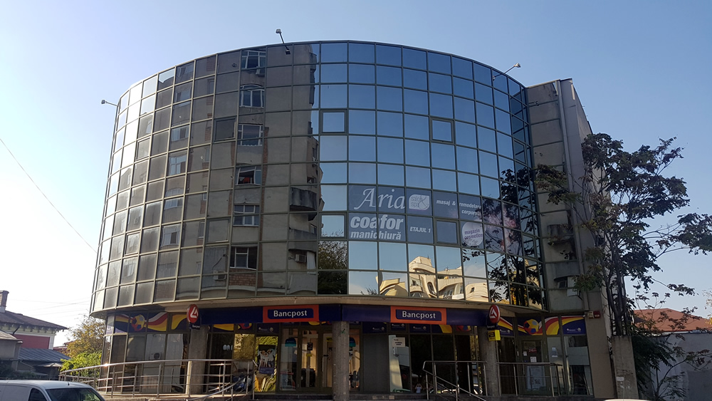
Topographic and Cadastral Measurements for the Former BANCPOST Office Building in Giurgiu town, Giurgiu County, with the Height Structure: S+G+2F. Contractor for IMO Property Investments Bucharest SA.
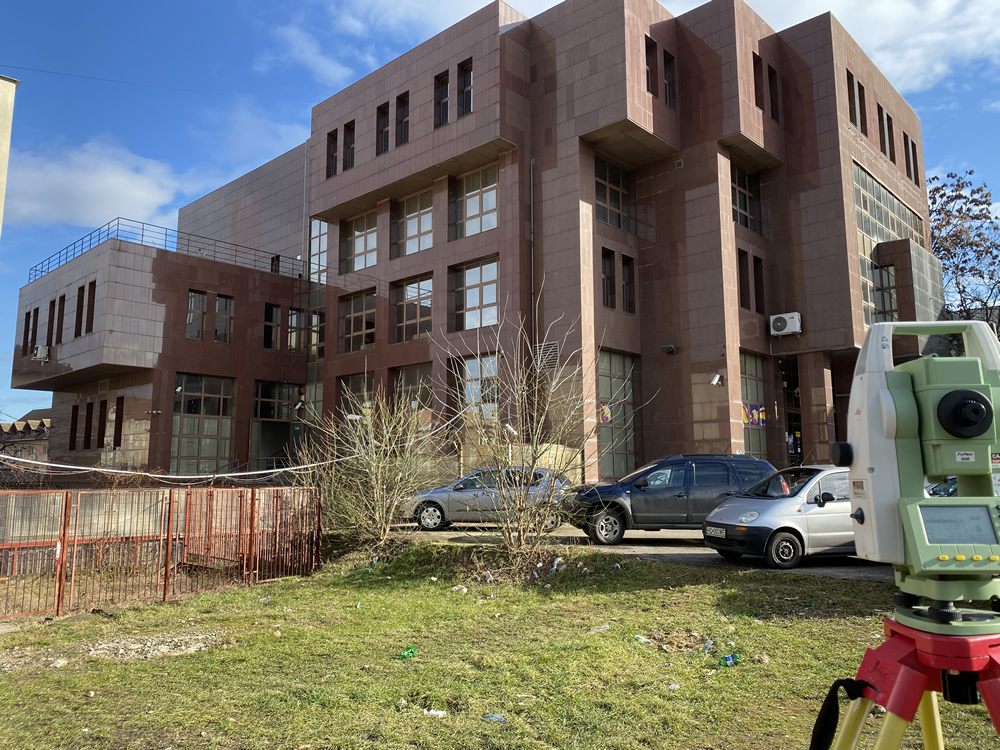
Topographic and Cadastral Measurements for the Former BANCPOST Office Building in Deva town, Hunedoara County, with the Height Structure: D+G+2F+R. Contractor for IMO Property Investments Bucharest SA
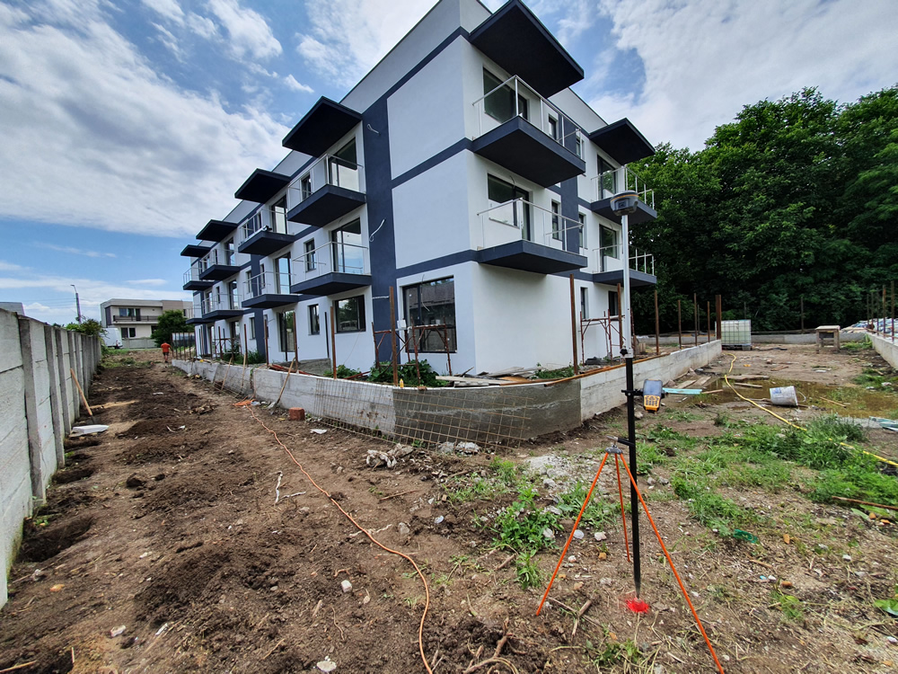
Cadastral Documentation for an Apartment Building with the Height Structure P+2F, located in Tunari, Ilfov County. Contractor for ISBAHOME SRL;
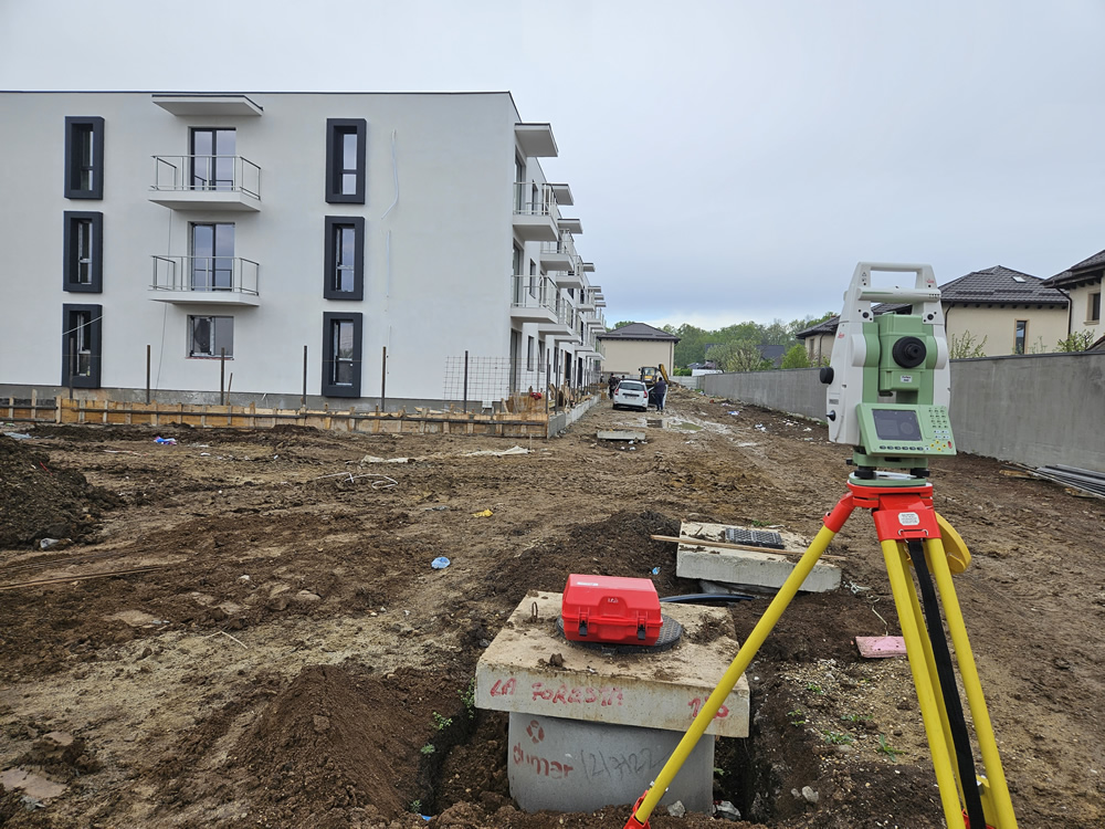
Cadastral Documentation for an Apartment Building with the Height Structure P+2F, located in Tunari, Ilfov County. Contractor for LA FORESTA SRL.
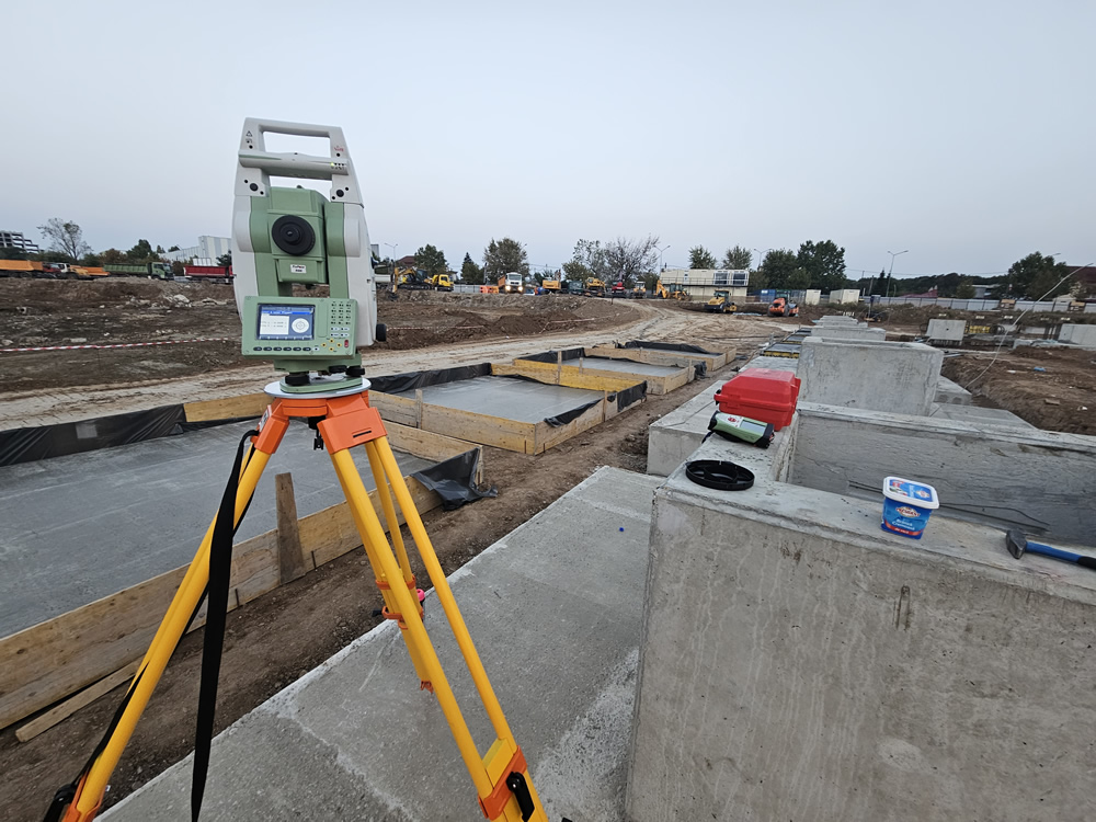
Construction of a Commercial Center and Drive-In HORNBACH, in Bucharest, Sector 2. Contractor for Master Build SRL.
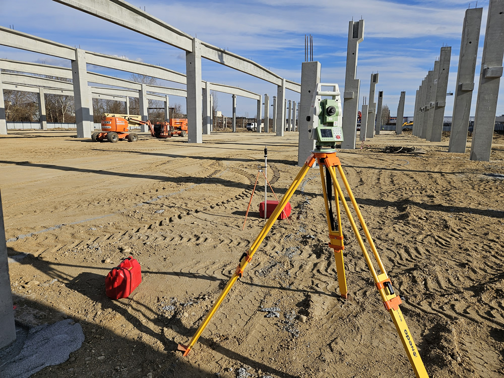
Construction of a Commercial Gallery and Leroy Merlin Store, in Pitești, Dâmbovița County. Contractor for Master Build SRL.
Contact
Survvex S.R.L.
Phone: +40 720.396.206
E-mail: hei@survvex.ro
Address: 37 Parfumului St, Vila 2, Bragadiru, Ilfov
VAT: RO37157293
National Trade Register Office: J23/5947/08.12.2020